Munising Michigan waterfalls
Photos in this Gallery were taken during a 3 day Waterfall trip to the Munising area. These are probably only half of what there are to visit in the immediate area. We were there the second week of October with temps in the 70s near 80 and sun each day. There are so many other great things to see in the area that you will get distracted from just waterfalls. Maybe for another album of sites and nature around Munising!
All photos are of low resolution. Please contact me through the Blog page if you are interested in any photos.
Upper Michigan Waterfalls!!! (well mostly)
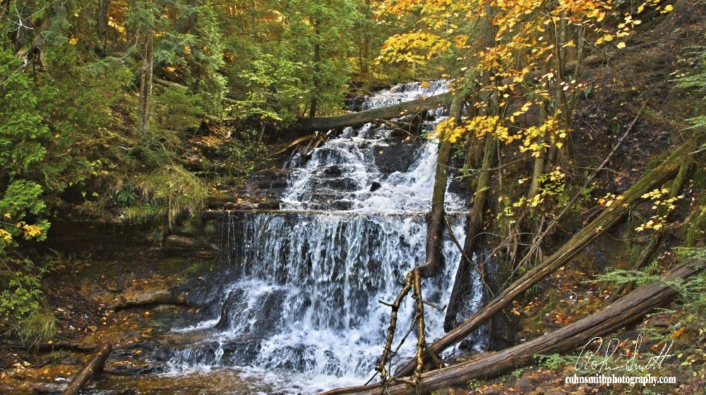
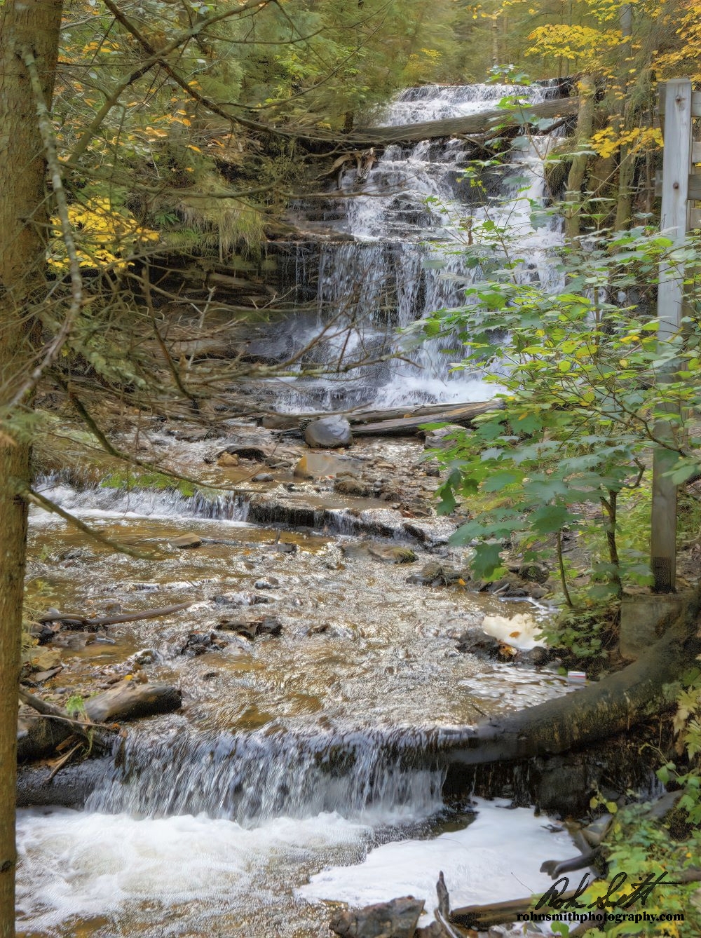
Day one was a very busy day. Starting with Wagner Falls. Wagner falls are located on M-94 just south of M-28. They were the first of the falls that we visited on our trip. (Closest to our hotel). They were just a short walk from the parking area through a dense woods. Several little falls are along the walk. The main falls are about 20 ft or so.
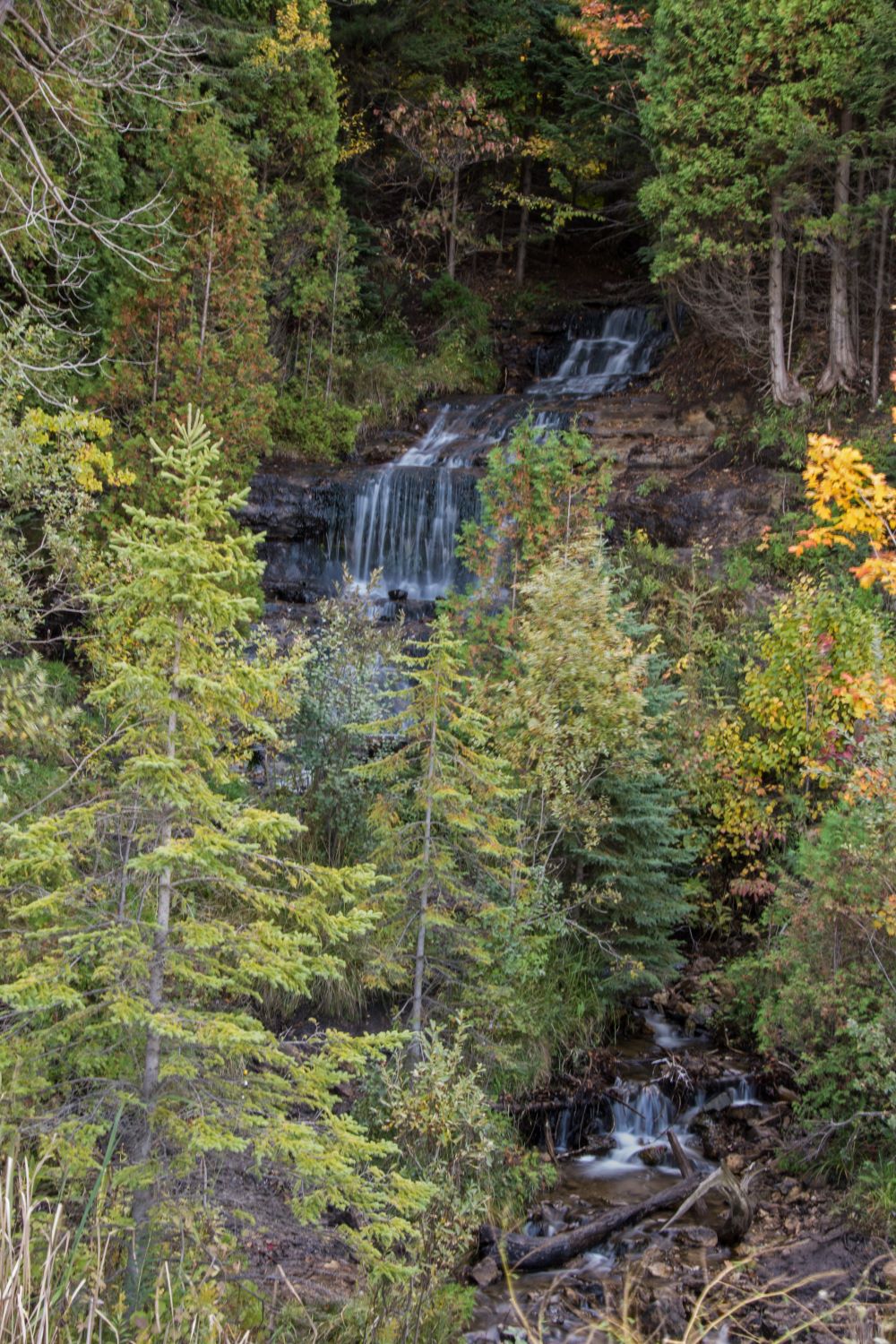
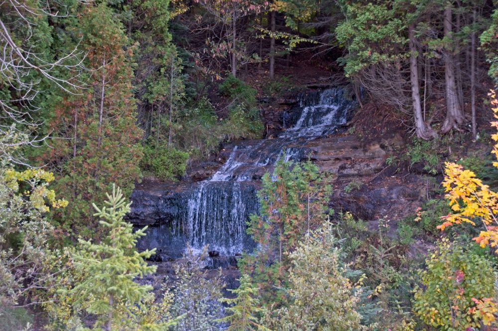
The next falls on the trip were literally just around the corner. At the junction of M94 and M28 Alger falls are just across M28 in front of you while setting at the stop sign. They are viewed from the side of the road. They meander down the side of the hill consisting of several small drops on the way down.
From Alger falls we head into Munising to see the Horseshoe Falls. Upon arival we see that these falls are privately owned. With an admission to view. Since it was early in the morning still. And the sun would be in our eyes looking toward the falls from the viewing area. We decided to skip them for the time being. All the remaining falls are free to view. If time allows before we head home we can always come back. With this said we set out for the next falls. Munising falls.
They are located just northeast of town. Munising falls are a 50-foot waterfall with a paved forested trail & stairs that Lead to a viewing platform along a sandstone canyon. starting at a replica old store and couple of buildings that are actually a small museum that give you the history of the area and falls. Well worth the visit.
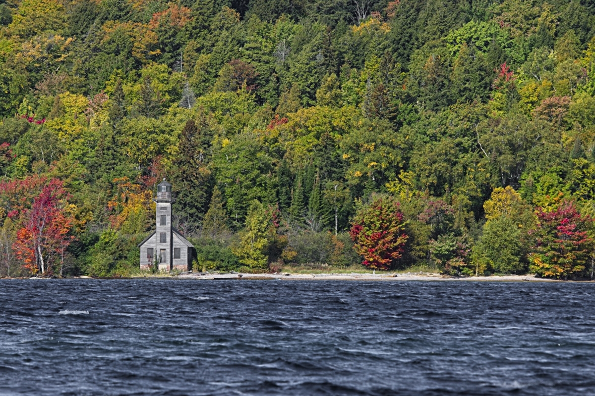
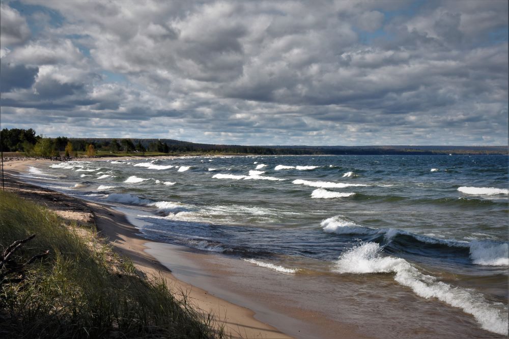
All though not a waterfall. From Munisng falls we took the short drive up the shore of Lake Superior to Sand Point. This is the Park Headquarters for the Pictured Rock National Lakeshore . They had lots of interactive displays and information on the Pictured Rock sites of interest, including waterfalls within the park. From the sand point beach the old East Channel Lighthouse if visible across the water on Grand Island.
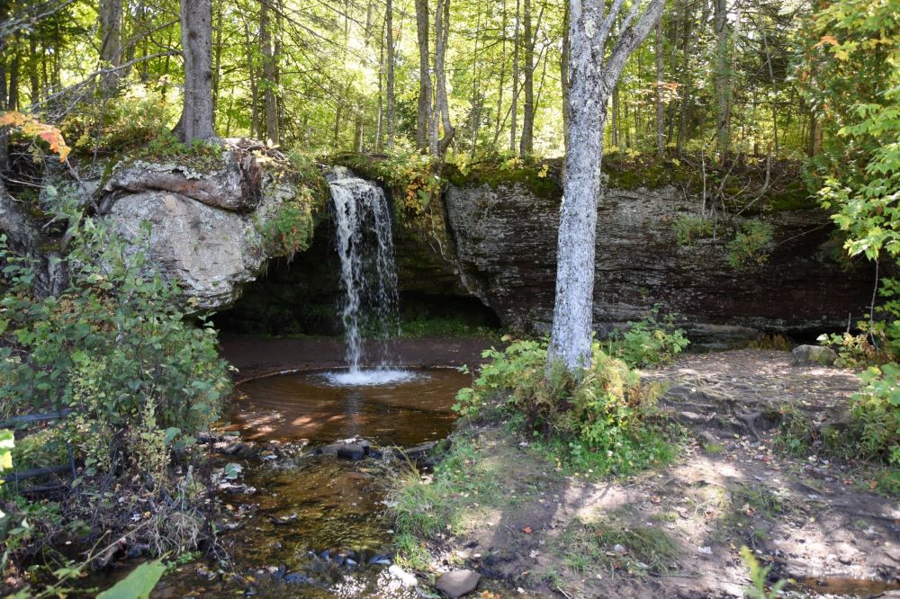
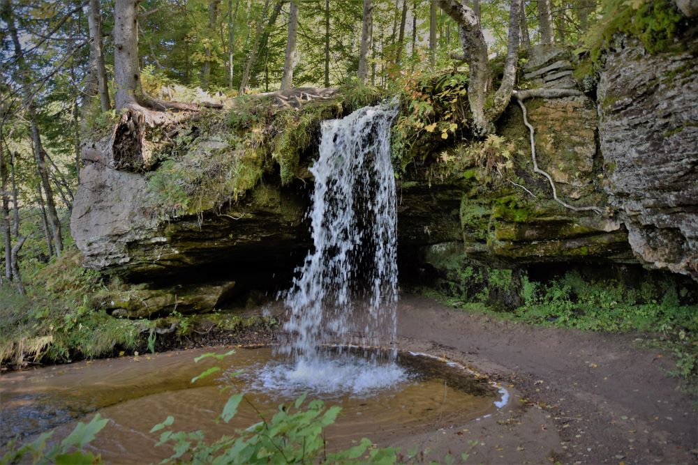
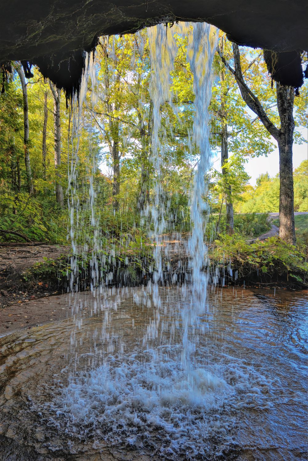
Several miles west of Munising up M28 to the next falls. Scott falls. They are located right on M28 across from Lake Superior. There is a small roadside rest and picnic area on the lake side you can park at and go across the road to Scott falls. Though small they were fun. You can walk behind the small maybe 12 ft high falls for a unique look from behind.

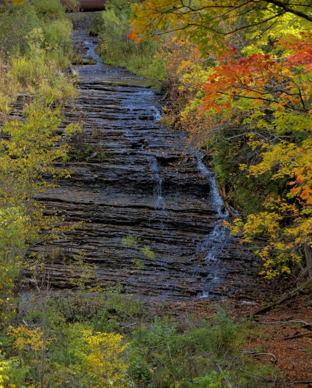
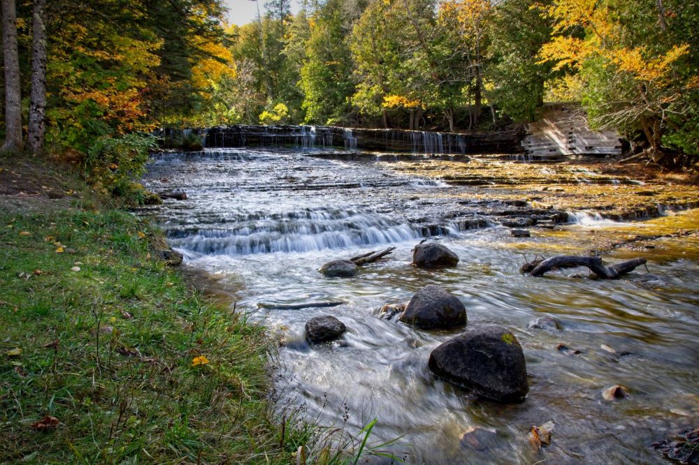
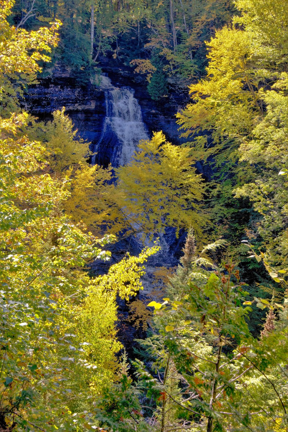
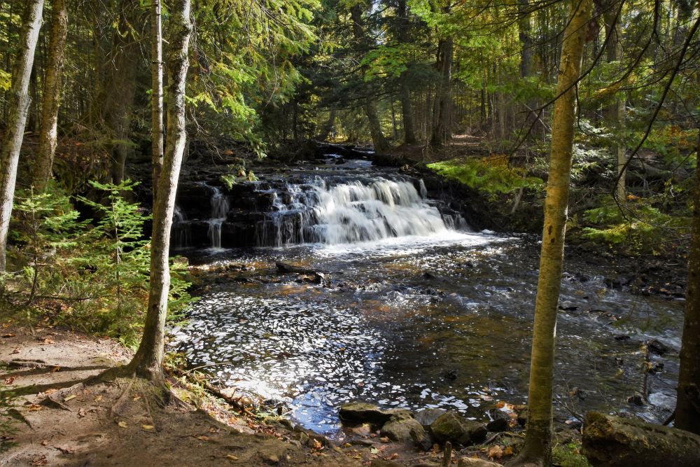
From Scott falls we head west about a mile and then south on Autrain Forest Lake Rd past Autrain Lake, down to within the site of the M94 intersection. Jumping of on a dirt road back to the falls. Autrain consist of upper and lower.
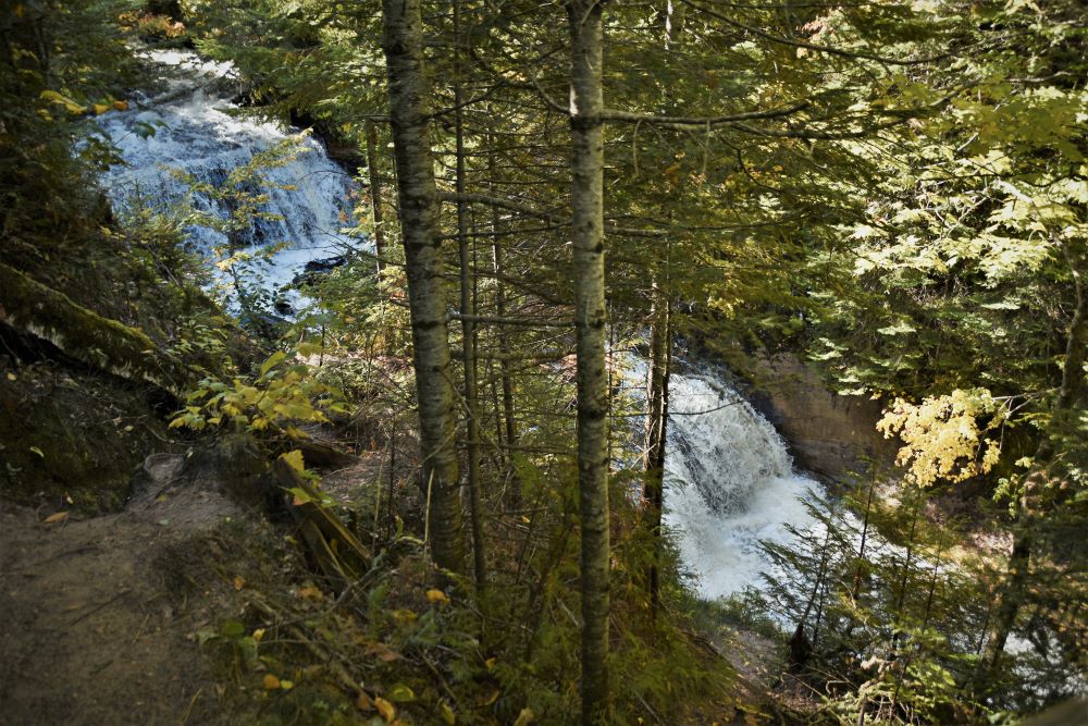
This photo is the upper, as the water cascades down the layers of rock. Had to carefully walk down a steep slope to reach the area this photo was taken. It is visible from the parking area, but with tree obstruction.
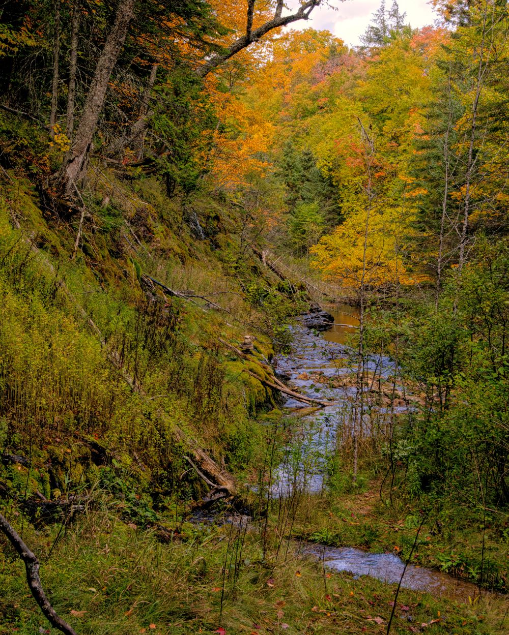
Turning and looking north (downstream) from this photo you can see how the river meanders through the woods to the lower falls.
Back in the car and less than an 1/8 of a mile more down the dirt road we come to the lower falls. Just get out of the car and there you are. There is a gated car bridge just below the foot of the falls which you can walk across to get the full view of the falls as in this photo.
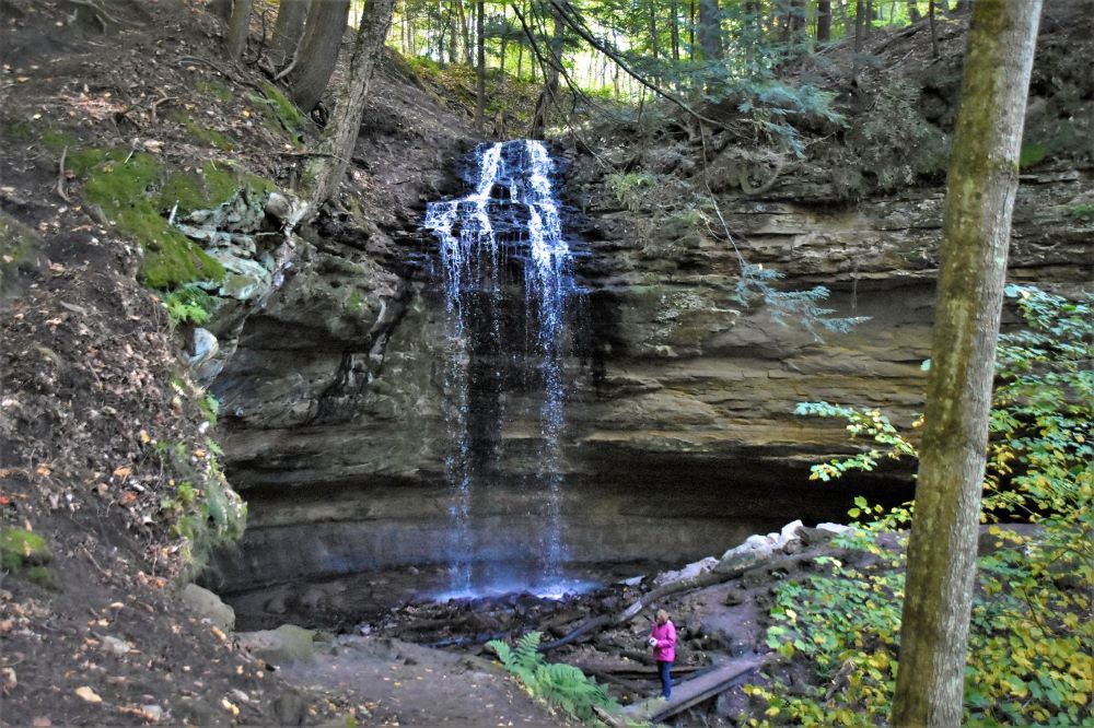
From here we are off to the next Falls to visit. Actually 2 for 1. Close by back to the north and east of town there are the Tannery and Memorial falls. They will involve over a mile or more hike through the woods. Up and down and along cliff trails to reach. It is also getting later in the day so we will need to step up the pace to take in both before sunset.
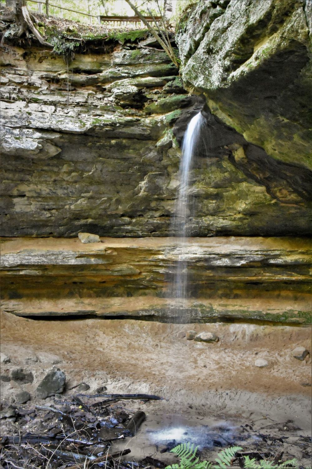
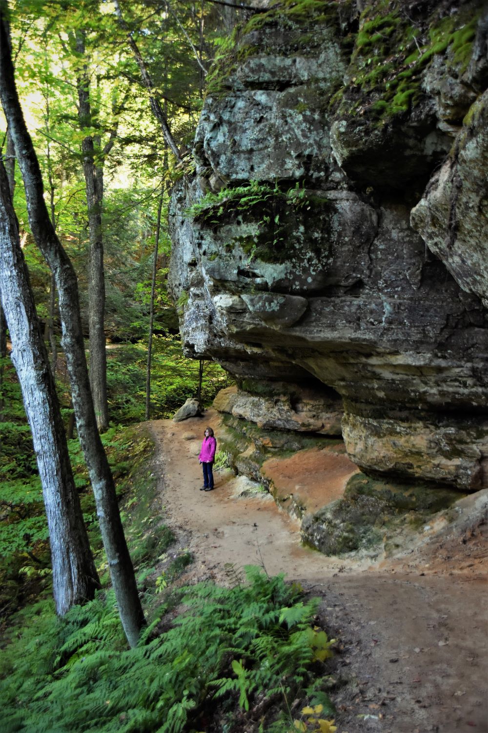
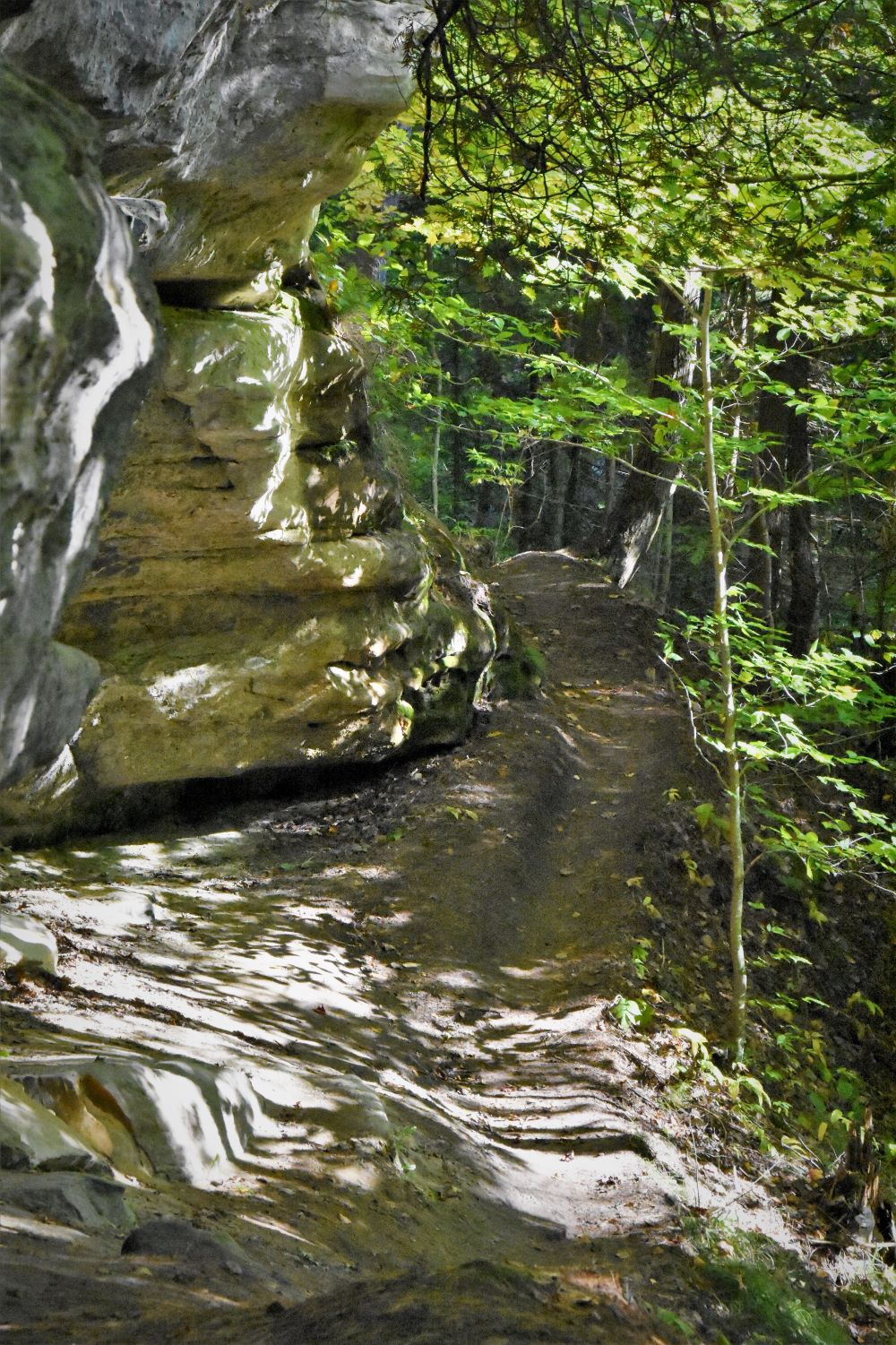
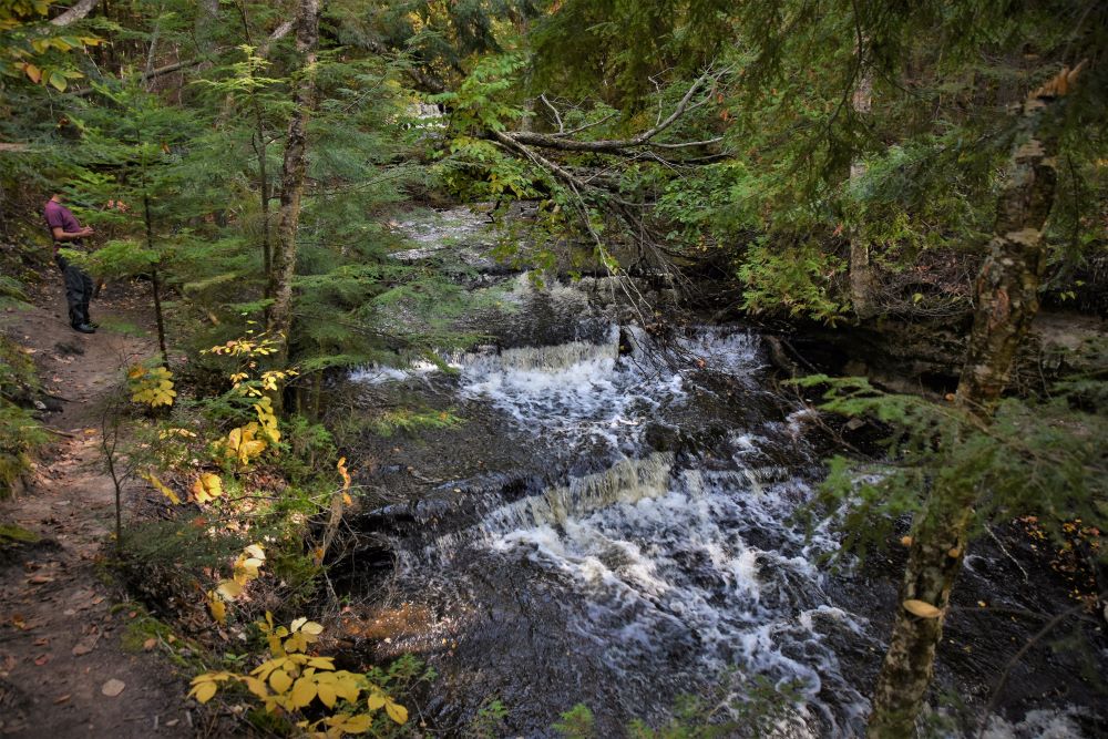
First is Memorial falls. We park along a subdivision street at a trail marker for the head of the trail to both falls. We take a short walk to the top of Memorial Falls. Another ½ mile or more walk through the woods to the bottom with a few ups and downs till we reach the bottom of the gorge. Then we start back along the bottom of the cliffs to Memorial falls. It is a small falls, but is worth the hike to see from the bottom. You can se in the photo the railings for viewing from the top, which in just a short walk from the road. The second photo is along the trail down to the bottom of the falls.
The photo to the left is typical the trail to reach the bottom of the falls. On the trip between falls the trail takes you to a trail head on sand beach road. Which has separate trails to each of the two. (would had been a better place to park. From where we parked we had to backtrack past the first falls to reach our car.) Tannery falls are well worth the trip with the sounds of the forest and falls. The views are awesome as you approach from the trail. Especially with the sun getting lower in the sky and the woods starting to darken.
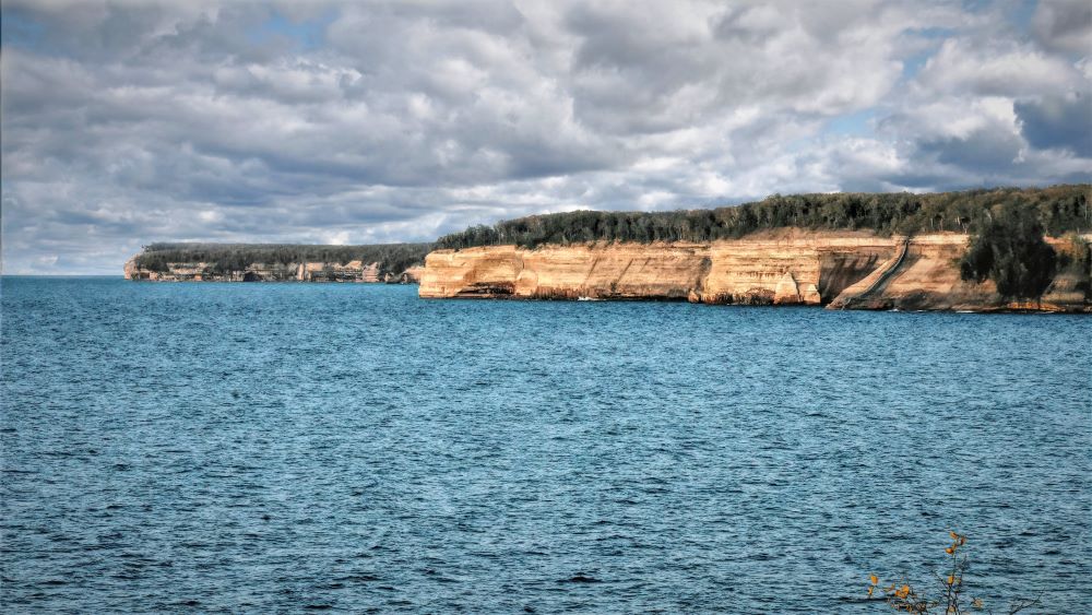
Back on the road around 5:30pm, we head to Castle Rock (within Pictured Rocks National Lake Shore) for some sunset photos with Castle Rock in front of the sunset (photo on home page) to close out day one. While walking down the trail to the viewing area you can look back through the trees to the east and see Bridal Veil Falls off in the distance.
This is close to what you actually see with your eyes. To the right in the photo you can see the falls gliding down the sandstone cliff.
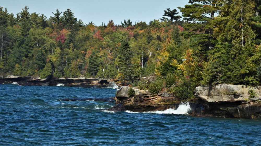
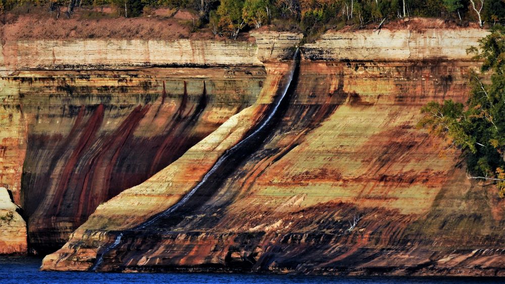
This photo is with a telephoto lens. You can really see the different colors in the sandstone.
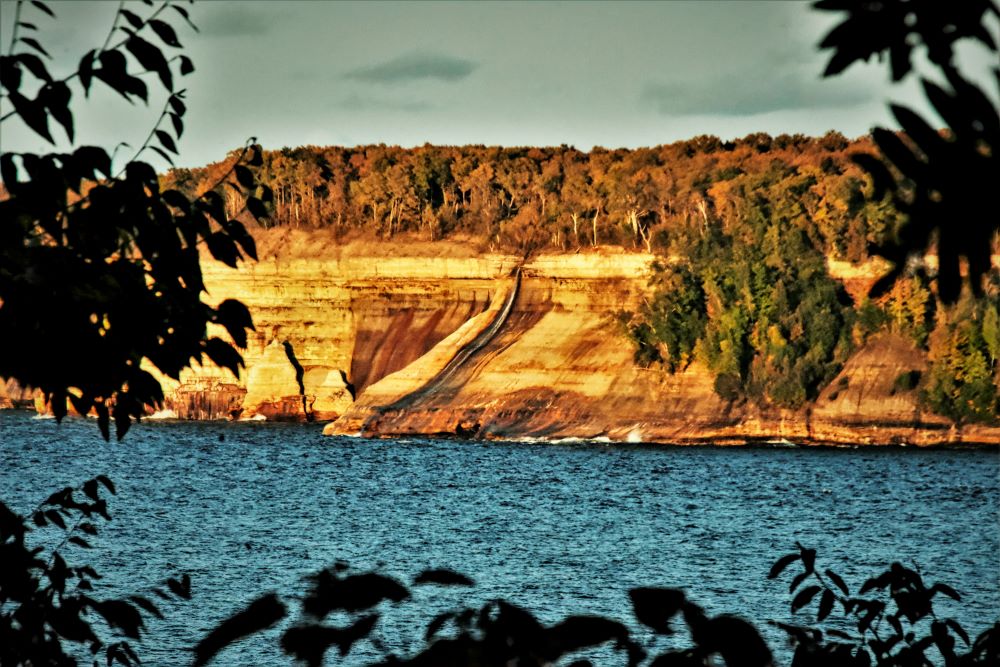
Bridal Veil with a good golden sunset on the third day, last night of our trip.
From this point on the remaining falls are within the Pictured Rocks National Lake Shore. So with a mid morning start we head to Sable falls. Sable falls are on the east end of the Park, close to Grand Marais. About 45 miles from our starting point. But with great views and stops along the way.
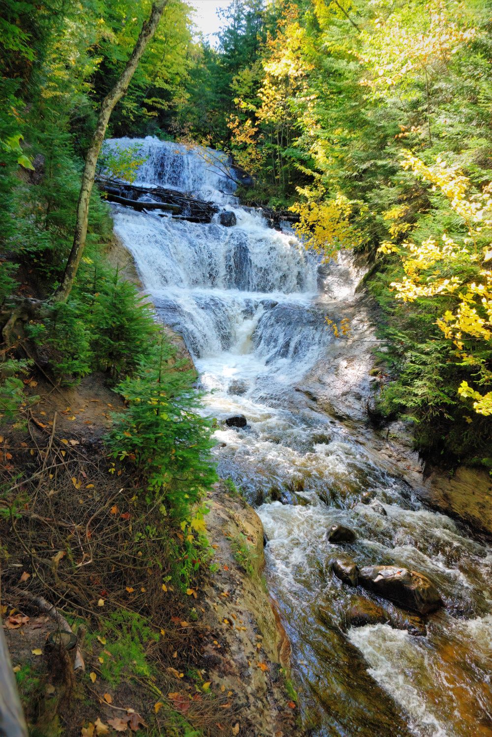
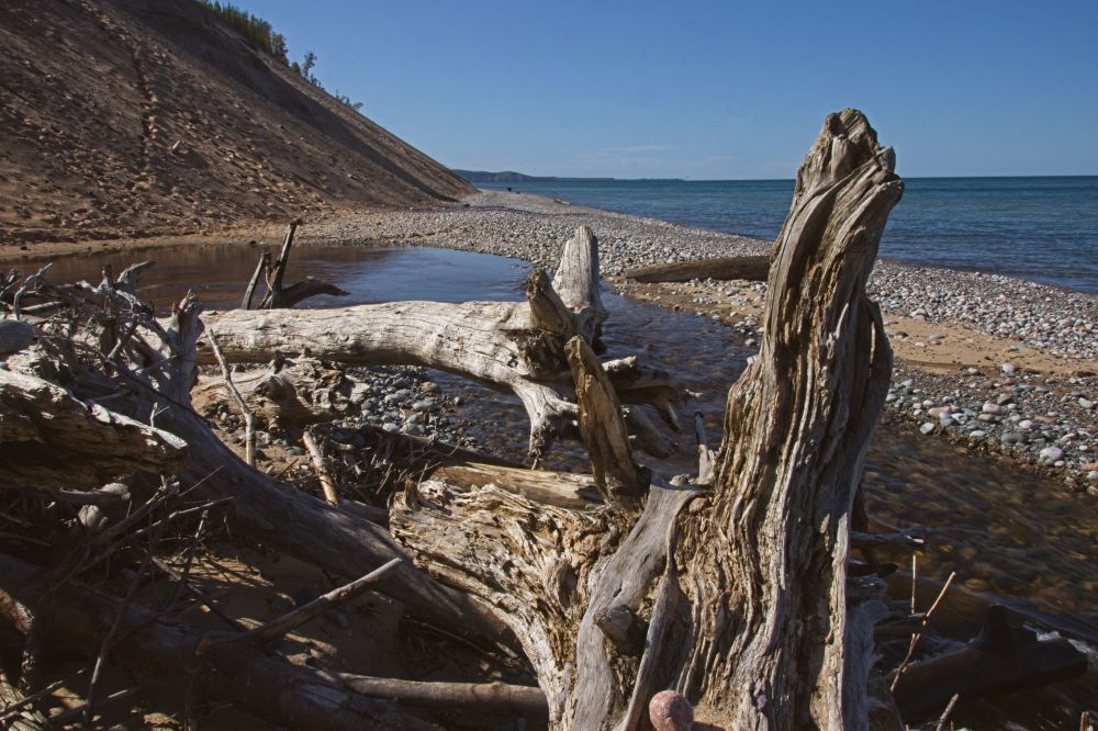
To get to the falls it is a short walk along a forest trail from the parking area. Best view is from the bottom of a 169 step staircase. As seen to the left. From there it is another short walk to the beach. Well worth the time to make the trip to the beach. The mouth of the river is littered with trees that had made their way down from the top. as seen in the above photo with a view of the Dunes in the back.
These were the only falls the second day. Since we spent time at the Log slide overlook, west end of the dunes, Au Sable Light Statioin (lighthouse), Twelvemile Beach Campground and a trip into Grand Marais. And several more locations of interest.
Day 3 and final day was a long hike day.
Its a 1.3 mile walk from the parking area to the top viewing area of the falls over dirt forest trails.
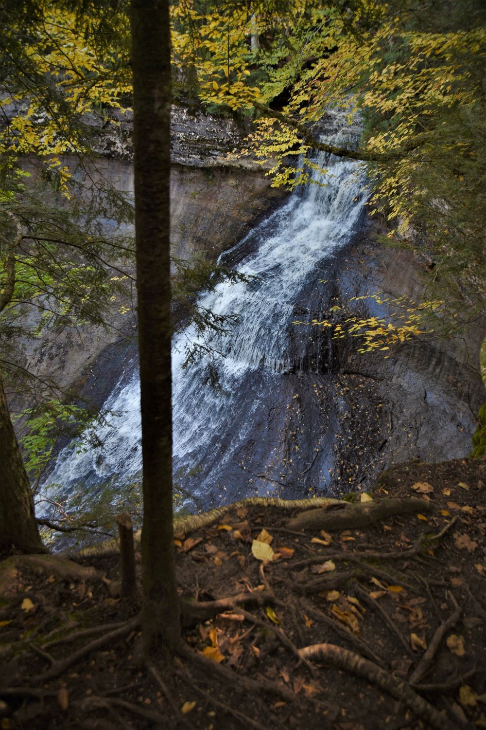
The falls cascade down the rock face around 60 to 70 ft. The photo to the left is from the top and this while descending down the trail to the bottom, to Chapel Rock and the beach.
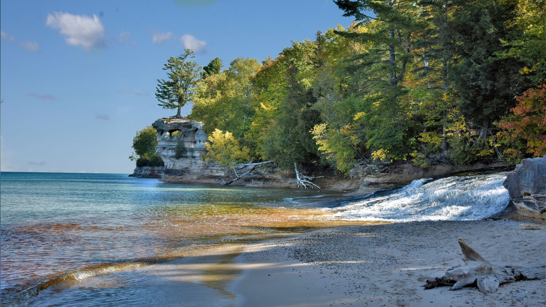
Another 1.8 miles from the falls to the mouth of the river and Chapel Rock. This photo is of the small falls at the mouth of the river where it enters Lake Superior. Chapel Rock can be seen in the background of the photo.
From Chapel beach we head back a different trail on the west side of Chapel Lake. Chapel falls were on the south end just up river from the lake. And the trail from the falls continued to the beach on the east side of the lake. From the west side trail which we took back, the lake is visible from high above. This trail from the beach to Mosquito Falls is about 3.5 miles Total. Some of the trail was very wet and mucky and difficult to navigate through.
Masquito Falls aren’t large. About 3 main drops with the largest around 6 ft or so. In the thick of the woods. A very secluded and relaxing area once there.
The trip back to the parking area was about 1 mile. And through the same rough areas we passed while getting to the falls. But many rewarding views as well. As seen in the photo to the right. I guess good with the bad?
This colorful mushroom/fungis is only about 3/4 to 1 inch tall. And stands out very well from the green moss.
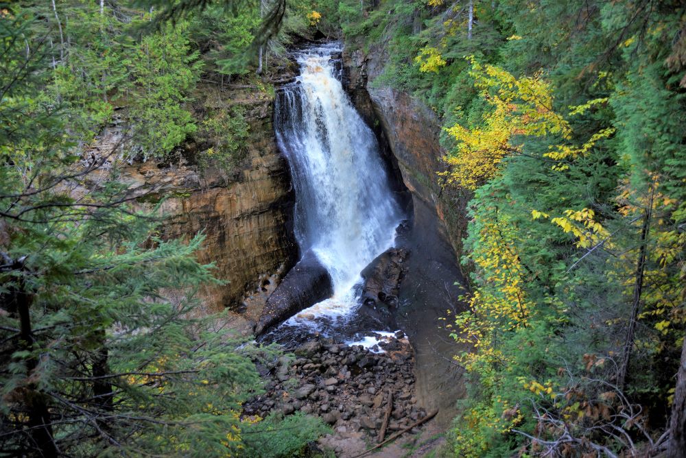
Once back to the parking area we headed to the final falls of the day and our trip. Minor falls. Reaching the falls parking area after 5pm. And having hiked around 8 miles already today, my wife decided that she would set this one out. So I started down the trail just over ½ mile to the falls. Good thing was that being late in the day the trail was pretty much empty. Only passing a handful of people coming back from the falls. Once there I was by myself. Usually this trail is traveled very heavily by many people all day long.
This is the only photo I have of these falls. Since there is only one viewing platform to see the falls. If earlier in the day I may have tried to find a trail to be able to view the falls from below as well.
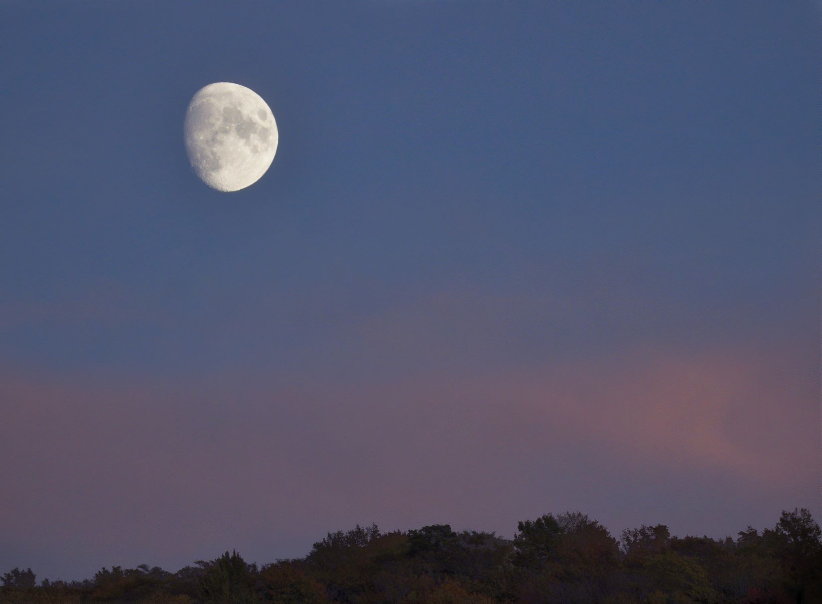
This photo isn’t a waterfall but a perfect shot of the moon rising above the trees. Our last evening there. So our trip ends with a perfect view of the moon rising.
So with the final falls for this trip under our belt. Maybe another will be planned to view the remaining or most of what is left at a later date. There are still several within the park area that we did not see. These are falls that take a little more time and difficulty to get to. There are also several more going west across the upper peninsula along the Lake Superior shores.
